Deze website maakt gebruik van cookies die noodzakelijk zijn om de website zo goed mogelijk te laten functioneren. Klik op "Akkoord" als je akkoord gaat met het gebruik van cookies, klik op "Aanpassen" voor meer informatie en om zelf te bepalen welke cookies worden geplaatst.
Boermarke
Brinkdorpen and Esdorpen
Spread across the landscape of Drenthe, you'll find dozens of so-called 'brinkdorpen' and 'esdorpen', also known as angerdörfer. The oldest villages date back to the 8th and 9th century. They were strategically placed on the border between the sandy planes and the river valleys. This gave the inhabitants access to water for their cattle and fields to grow food.
Domed Land
The name esdorp refers to the 'es', a combined complex of elongated fields located just outside the village. Every farmer had his own strip of land where he grew barley, potatoes, and rye. The es has a domed shape. That was the result of spreading layer after layer of manure and sods on the fields. Over the years, a thick and fertile top layer would form, called the 'esdek'.
Meeting Place
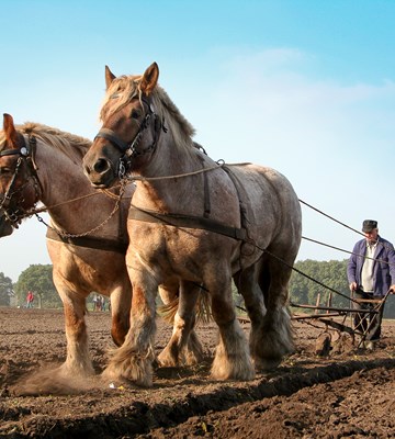
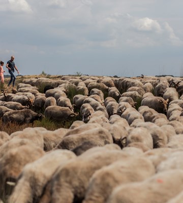
The 'brink' refers to a field on the edge of town. Traditionally this was the place where the farmers would gather their cattle in the morning. From the brink, the cows, pigs, and sheep would be taken to the meadows and heathlands for grazing. At the end of the day, the cattle would return to the brink. Because the villagers met on the brink two times a day, it was an important meeting place in the village.
Oak Trees
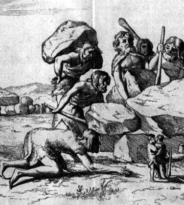
The brink had a pond from which the livestock could drink and which served as a source of water for the villagers in case of fire. The brink was usually planted with oak trees. These provided acorns for the livestock and wood for building farms and barns. The whole village helped with construction. The principle of helping each other is called 'naoberschap', which can be translated as neighbourliness.
Brinkzitters
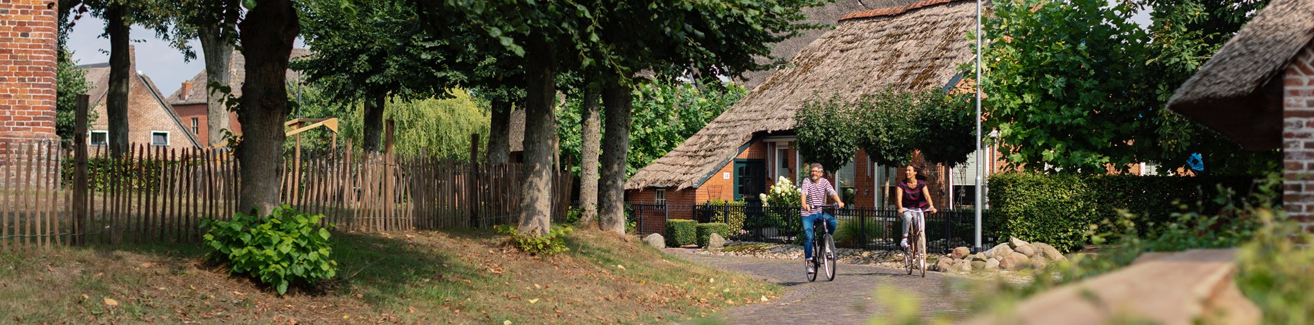
As the villages grew, the opposite side of the brink was also being built up. Some new residents without land of their own, including shepherds, craftsmen, and shopkeepers even built homes on the brink. They were also referred to as 'brinkzitters' or brink sitters. A new brink would then be established on the new edge of the village. In some of the esdorpen or brinkdorpen in Drenthe, the old structure with the brink on the edge of the built-up area can still be recognised.
Go Discover
Fifteen esdorpen and brinkdorpen have been given the status of protected townscape: Aalden, Anloo, Benneveld, Dwingeloo, Echten, Eursinge (Havelte), Gees, Kraloo, Orvelte, Ten Aarlo, Vries, Westenesch, Westervelde-Westeinde, Zuidlaren, and Zuidvelde. Openluchtmuseum Ellert en Brammert in Schoonoord shows what the farmhouses and huts used to look like. The 'brinkenroute' takes you to all the esdorpen in the municipality of Noordenveld.